Recurring Images from Various Locations
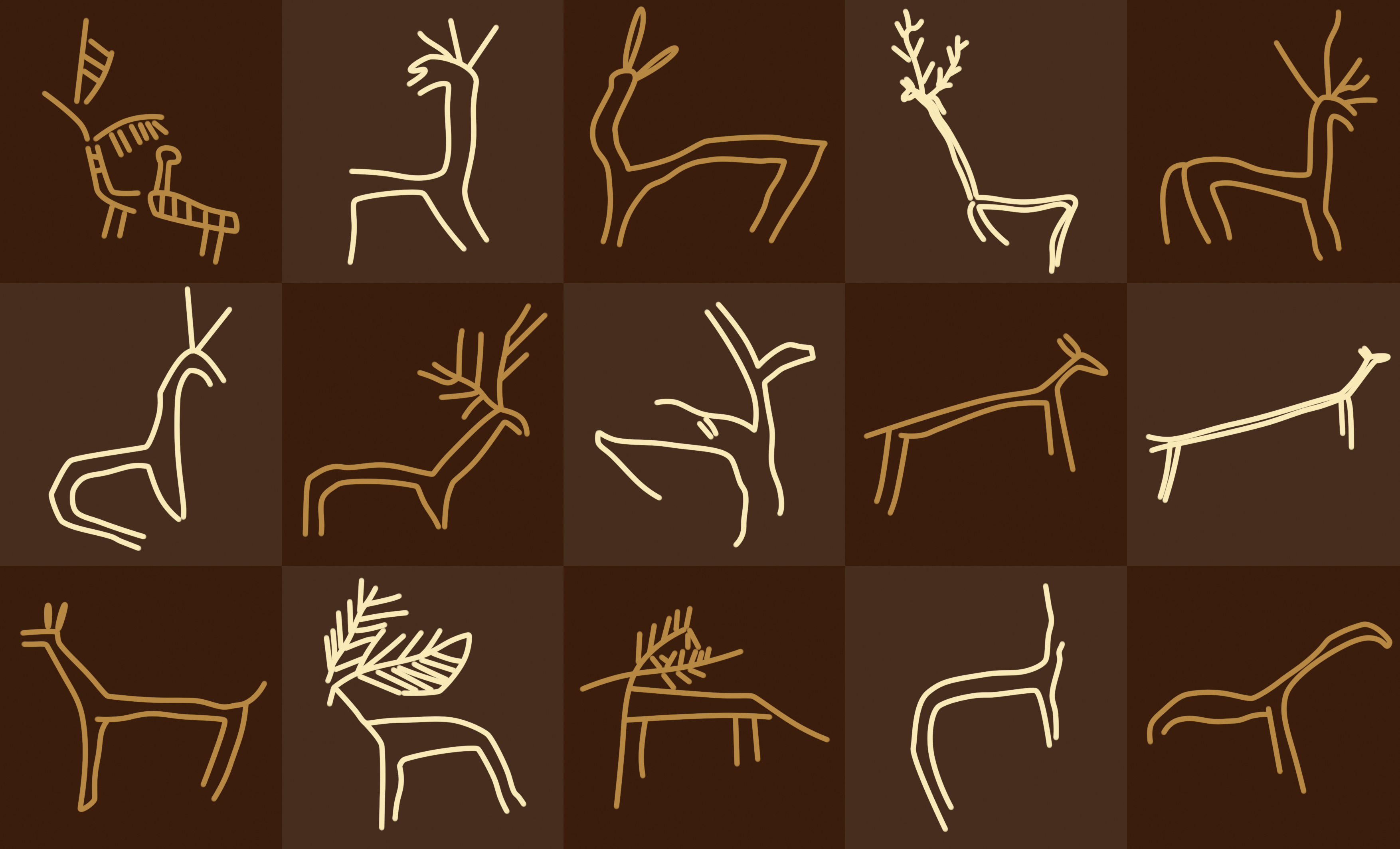
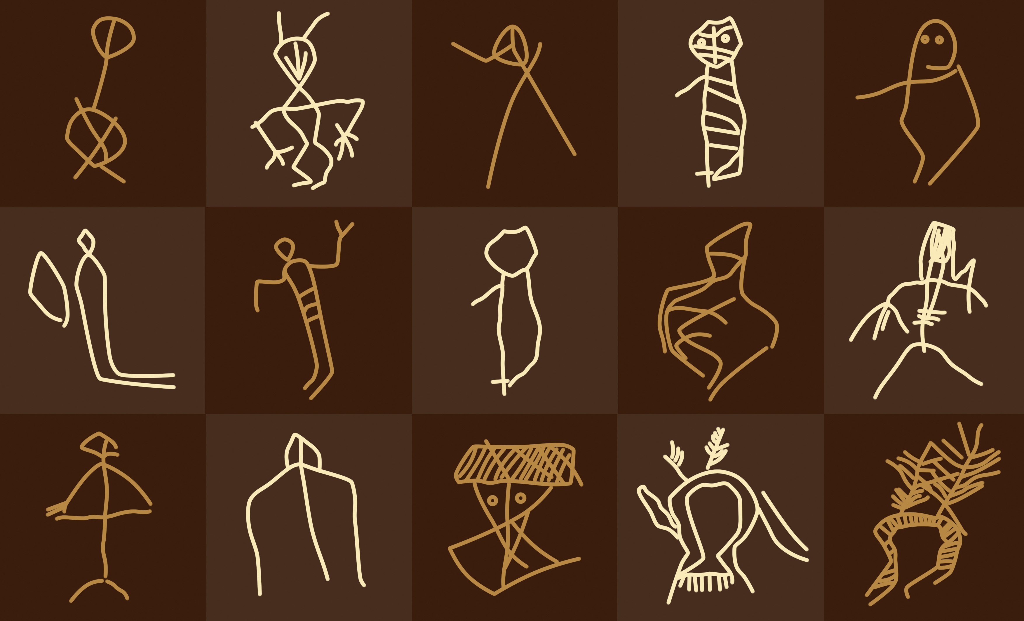
Among the petroglyphs of Zasele and Oslen Krivodol, series of identical symbols are observed, as well as rather strange depictions of humans and animals.
Solar circles

Figures of varying shapes filled with dots

Grid nets

Leaves

Abstract "deers" (?)

Depictions of animals
Depictions of humans
The Legend of Istar and the Great Lake
An old legend, recorded by local historian Simeon Naydenov in his book "At the Foot of Grohoten", tells the story of a young man named Istar who settled with his family on the shore of a large lake near the Grohoten fortress (a name now borne by a peak north of the town of Svoge). He earned his living by fishing. One day, while Istar was out on the lake, a deep rumbling and roaring resounded as if coming from deep underground. An unseen force drained the lake's waters, quickly exposing the black muddy bottom. Along with the water, Istar vanished.
The legend is very ancient and clearly attempts to explain the numerous fossil findings in the region – petrified shells, marine creatures, ancient plants, and traces of vertebrates. Geologically, these fossils date back millions of years, long before human existence.
Why 400 Meters Above the Iskar River Level?
Yet we cannot help asking: how and from where did the memory of a great lake at the site of present-day Svoge survive? Was it solely due to petrified shells, or because of a real event that left an imprint on folk memory? Why are both sites with ancient drawings – Breze village and Zasele village – located approximately 400 meters higher than the current Iskar River level? Did their ancient creators climb high into the mountain, or did they simply live along the shore of the "great lake" described in the legend?
Many unanswered questions based on a single legend, yet accompanied by a whole sequence of strange drawings about which questions must also be raised.
The Boundaries of Archaeological Analysis
Here we return to the fundamental question of dating the ancient drawings along the Iskar River. All traditional methods known to archaeology are unable to provide an exact date for rock-carved images:
- 🧪 Radiocarbon (C-14) analysis: Samples can only be taken from red ochre drawings, and solely if organic binding agents (e.g., egg white or blood) were used in the pigment.
- ⛏️ Cave excavations: Archaeological test pits can be dug at the base of caves and rock shelters. However, whether artifacts found on the floor correspond to the era when wall drawings were made cannot be directly proven.
We are left to analyze the depictions and note how enigmatic some of them are. Modern observers readily draw associations with flying machines, all-terrain vehicles, and even the double helix structure of DNA. We are reminded of the Biblical Flood (the great lake) and numerous theories often categorized as "fringe science".

And yet we are bound to ask: What do these drawings represent? Without asking the right question, an acceptable answer will likely remain out of reach.